MyFarmFax

Farmland history from satellites and public records

Know a farm's water and crop history before you buy or sell

Ten years of water use, crops, yields, soil, water rights and risks for any field, in one report.

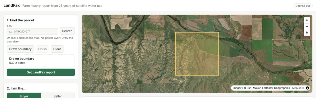
Center-pivot farms near Boardman, Oregon. Imagery © Esri, Maxar, Earthstar Geographics

MyFarmFax screen

MyFarmFax

The water, crop and land history of a farm, like a vehicle history report

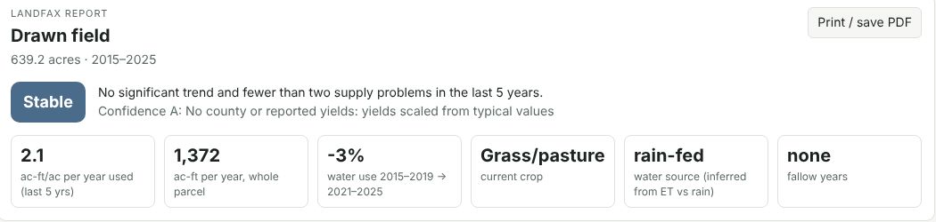
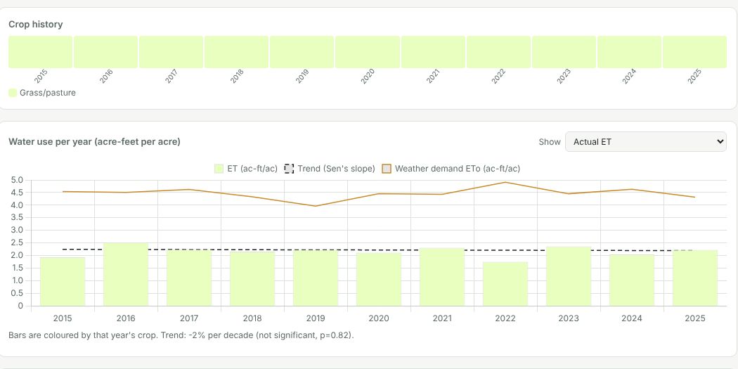
For one field or parcel: 10 years of satellite water use, the crops grown each year, estimated yields, fallow and water-short years, soil and salinity, irrigation water and its quality, water rights, land value, flood, wetland and easement checks, and the questions to ask before you buy or sell.
What MyFarmFax tells you

Before you buy, sell or lend on farmland: how much water the farm really used each year since 2015, what was grown, which years were fallow or short of water, and what the soil, water source, water rights and land records say.

How it works

Water use comes from OpenET satellite evapotranspiration at 30 m, about a quarter of an acre, every month. MyFarmFax combines it with USDA crop maps and yields, soil surveys, state water-rights records and public risk maps.

Getting access

MyFarmFax is open to approved users. Request access with your name and email; once it's approved you'll get an email to set your password.
